
North Cape, Norway
This reindeer mom and her two calves on Mageroya Island in northern Norway pay no attention to me or my big lens.

North Cape, Norway
Puffins prefer to take a dive when feeling threatened.

North Cape, Norway
Not unlike tree rings the rock formations in the Stappen Islands speak of a long and turbulent geologic history.

North Cape, Norway

North Cape, Norway
Seals and a herring gull.

North Cape, Norway
This puffin wants to have nothing to do with me and leaves me in his wake.

North Cape, Norway
A flock of razorbills near the Stappen Islands, northern Norway.

North Cape, Norway
The reindeer of northern Norway represent the traditional livelihood of the Sami people. This reindeer and his “colleagues” belong to a group of 6 Sami families. In summer they roam freely and graze on the island of Mageroya, the home of the famous North Cape, continental Europe’s most northern point. Every spring and every fall the reindeer have to swim across the Mageroya Sound while motorists use a tunnel.

North Cape, Norway
Thousands of puffins take to the water in search for food. Once a year they come to the Stappen Islands to meet up with their mate, breed, raise 1 chick and go their separate ways only to be reunited again the following year.

North Cape, Norway
A white-tailed eagle lands on top of a cliff for a better view.
North Cape, Norway
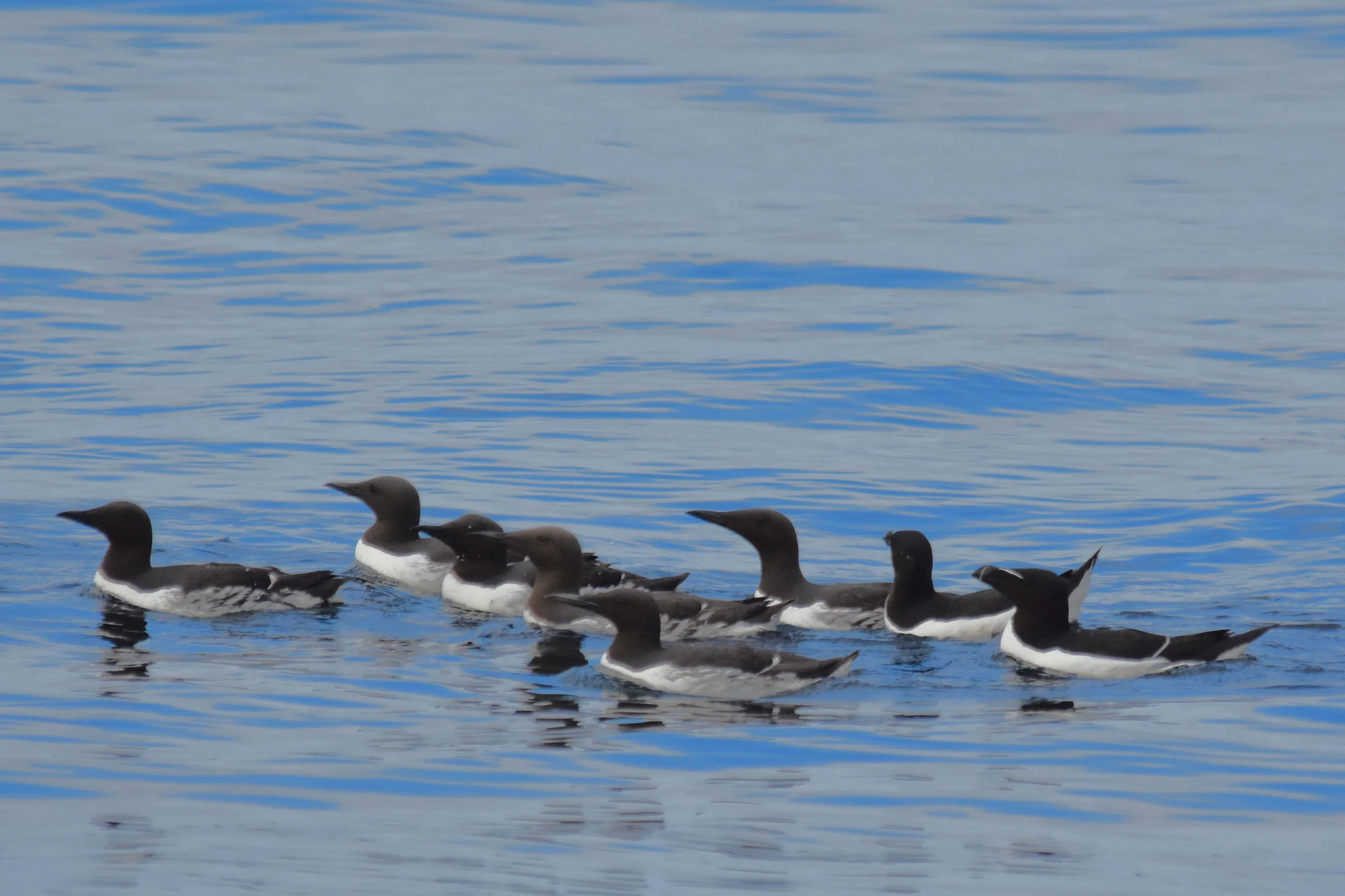
A group of six common guillemots and two razorbills pass me on their way to the Bingo hall.

North Cape, Norway
...the benefits of polluted oceans.

North Cape, Norway
A northern gannet rookery.

North Cape, Norway
A northern gannet rookery.
North Cape, Norway
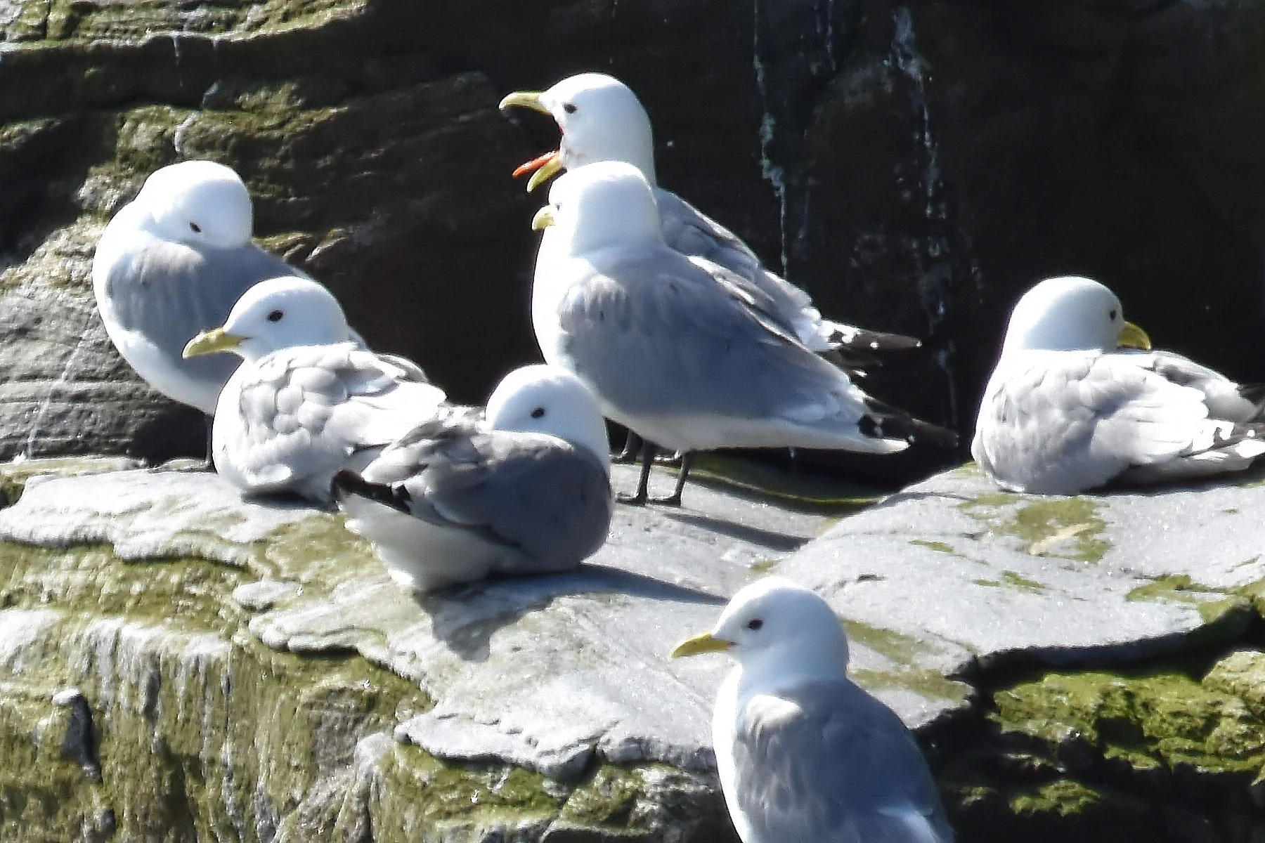
The kittewakes take a break from fishing on the island of Storstappen in northern Norway.
North Cape, Norway
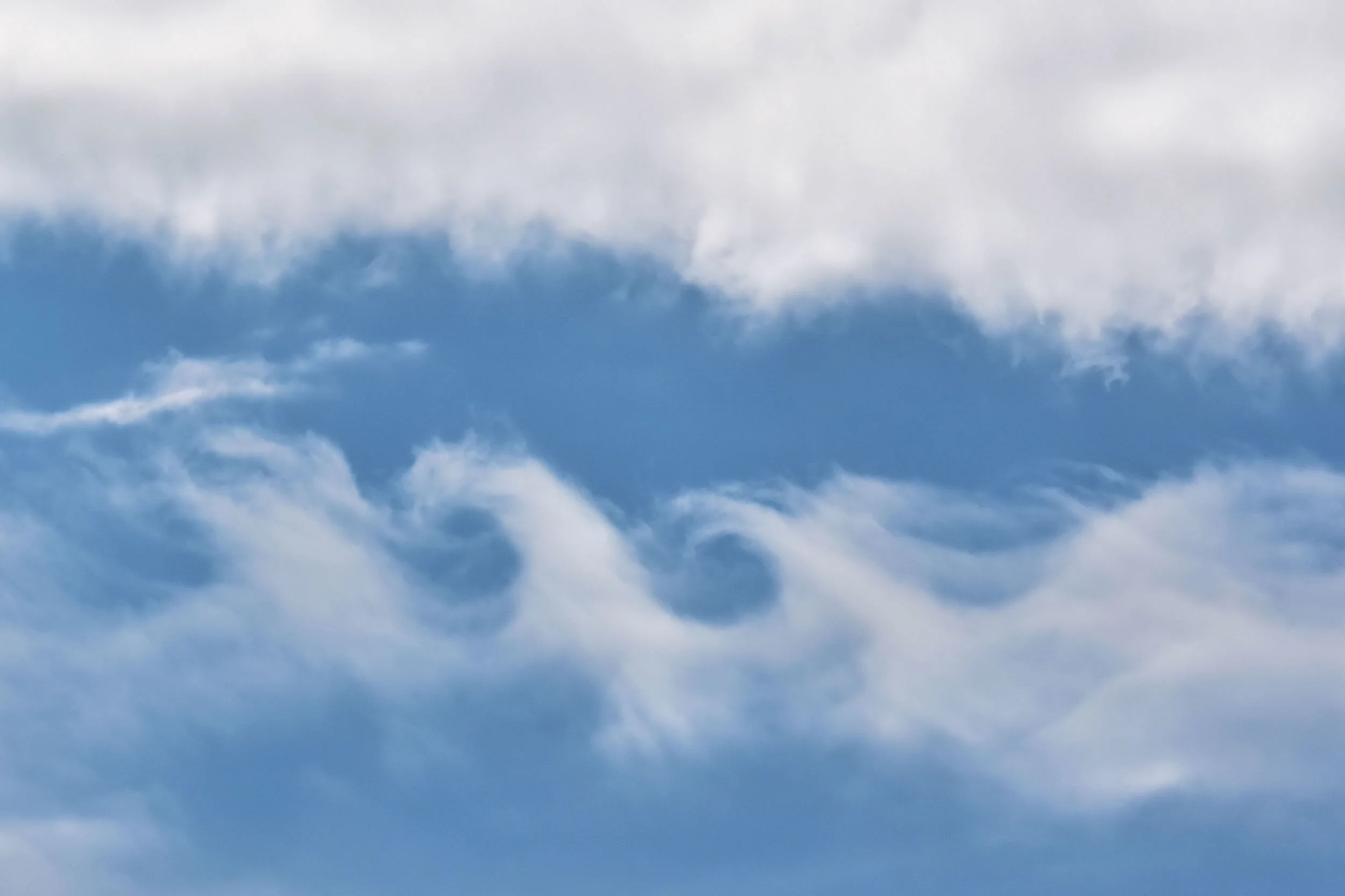
A sign in the heavens warning of high waves in the sea?

Lonyearbyen, Svalbard, Norway
A break in the clouds allows the sun to highlight the snowy mountains east of Longyearfjord. Only brave yachtsmen dare to take their private sailing vessels this far north.
North Cape, Norway
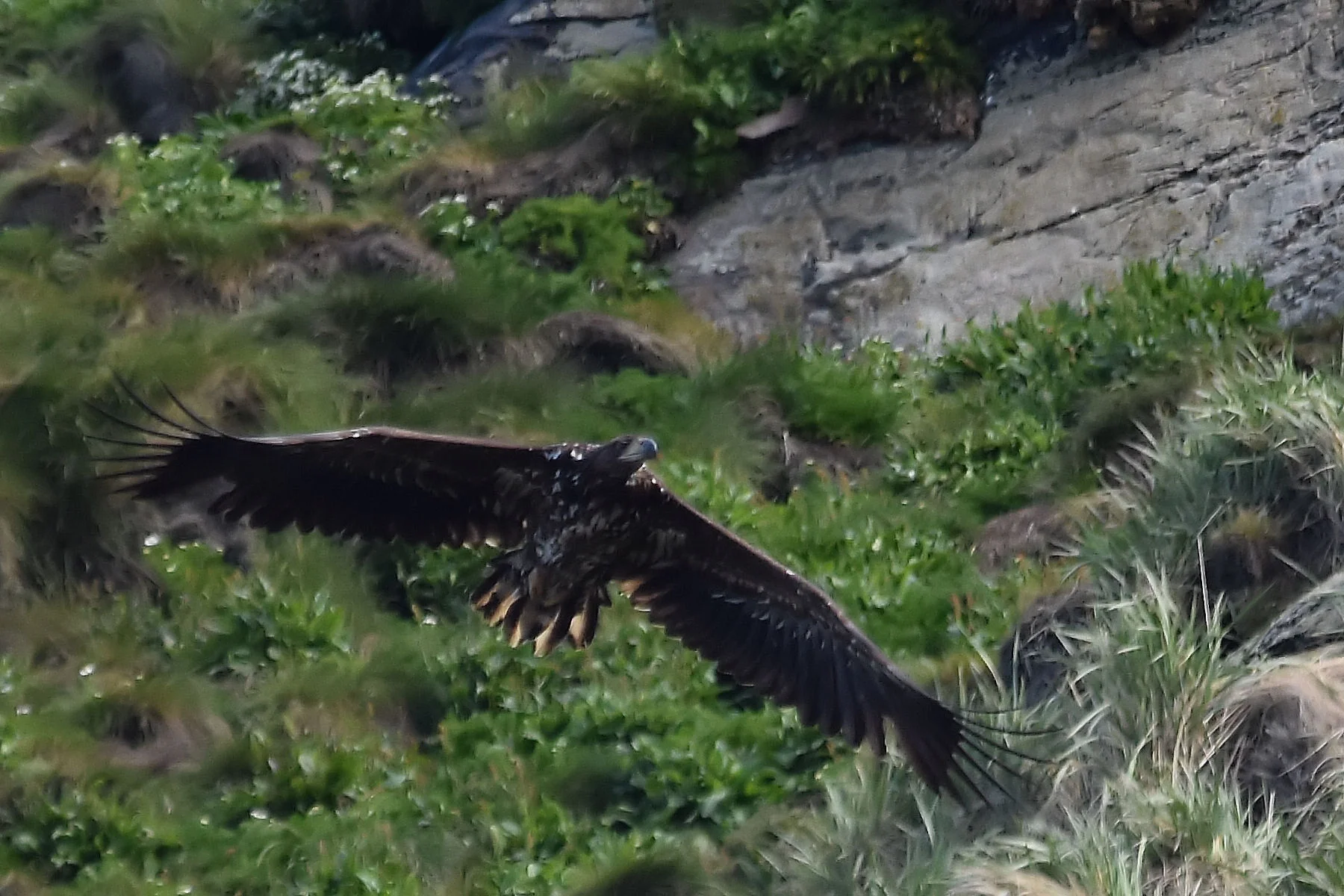
A golden eagle is in search for his next meal on the island of Storstappen. The island is a protected bird sanctuary just west of the North Cape (the most northern tip of the European continent) in Norway.

Longyearbyen, Svalbard, Norway
Wild flower beauty in the high arctic.

Longyearbyen, Svalbard, Norway

Longyearbyen, Svalbard, Norway
The town of Longyearbyen on the island of Spitsbergen. The picture was taken from the top of the Longyear Glacier.

Longyearbyen, Svalbard, Norway
Like fish out of water the snowmobiles in Longyearbyen are stranded without snow - but not for long. At 78 degr. NL the summers are very short.

Longyearbyen, Svalbard, Norway
Considering the harsh climate at this high latitude, the Svalbard archipelago boasts many beautiful wild flowers. This is the Svalbard poppy.

Longyearbyen, Svalbard, Norway
An imprint of a leaf from pre-historic times makes you pause and think what it musthave been like on the Norwegian archipelago of Svalbard 40 to 60 million years ago. The climate was warm and the vegetation lush. Now, Svalbard is further north in the frozen arctic near 80 degr. Northern Latitude.
Longyearbyen, Svalbard, Norway
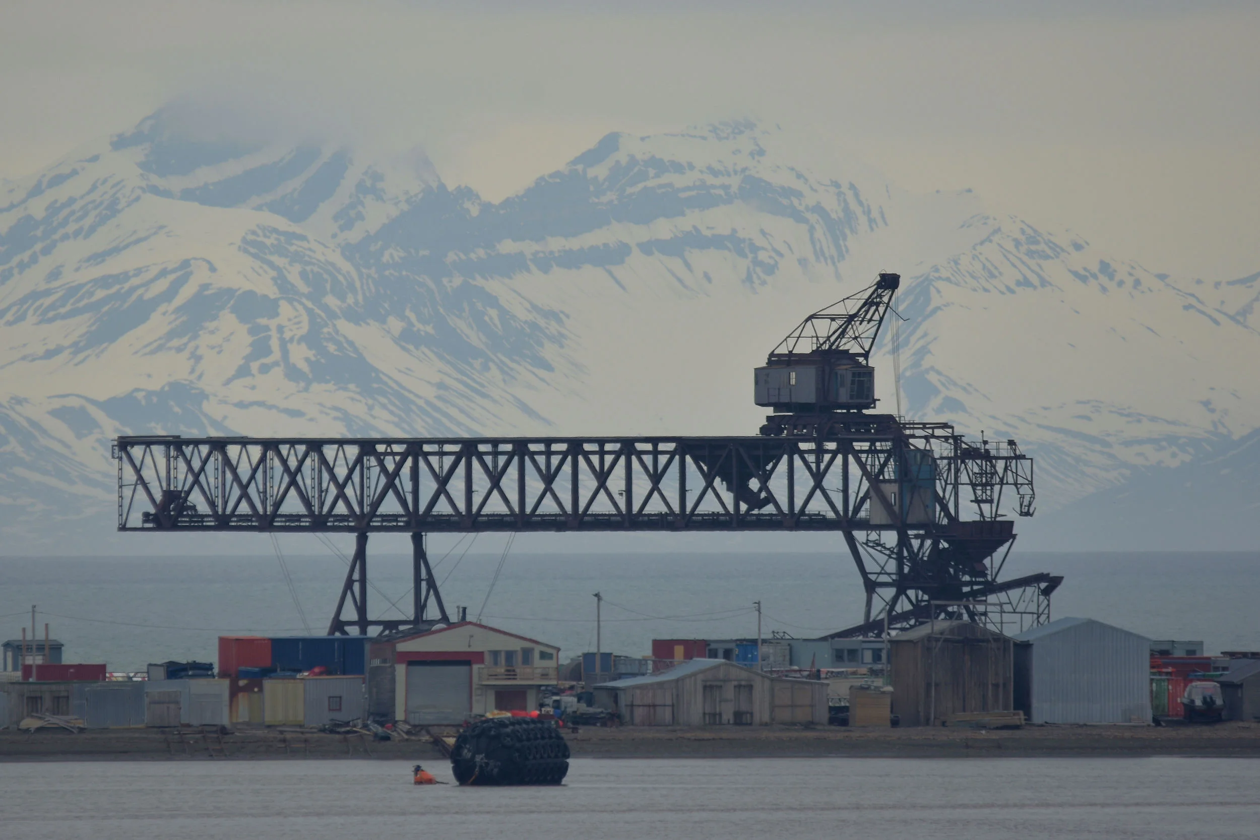
Lonyearbyen has a long history of coal mining. Of the 9 local mines, only 1 is still operational. The main market for the coal is Germany where the high quality coal is used in steel production. The coal deposits speak of a much warmer past with lush vegetation. The picture shows the active port from where the coal is shipped.

Longyearbyen, Svalbard, Norway
A cruise ship anchored in Isfjord on the island of Spitsbergen offers its passengers a close-up view of a massive glacier.

Longyearbyen, Svalbard, Norway
The Lonyearfjord with the town of Longyearbyen to the right.

Longyearbyen, Svalbard, Norway

Longyearbyen, Svalbard, Norway
While endangered on mainland Norway, there is a large, thriving population of arctic fox in the Svalbard archipelago. This arctic fox is looking for delicious bird eggs and chicks of eider ducks, geese and seabirds. He likes to hoard food during the summer in anticipation of a long, drawn-out winter. In spring, the arctic fox exchanges his white fur for a brown/blue look that blends in with the terrain and offers better camouflage.

Longyearbyen, Svalbard, Norway
Barnacle geese on the island of Spitsbergen. After being reduced to only 300 individuals at the end of WWII, the barnacle geese have increased in numbers as a result of thee protection and preservation of breeding and wintering grounds. In 2013 the population has been estimated to exceed 31,000 geese.

Longyearbyen, Svalbard, Norway
The Arctic Sunrise owned by Greenpeace is in Spitsbergen to investigate the extent of the polar ice pack at the time of year when it should be most extensive – April/May. The ship travelled north along the west coast of Svalgard in early April of 2016 and did not encounter solid ice at all. In normal years, Svalbard circumnavigations are only possible in late summer, but this year a circumnavigation would already be possible in April. Far from scientific, these anecdotal reports do not prove or disprove global warming but they add to the extensive body of evidence pointing towards a warming of the high arctic.

Longyearbyen, Svalbard, Norway
The snow bunting is the only songbird in the Svalbard archipelago. This male survives on insects until it leaves the high arctic for the Russian steppes and Kasakhstan in August or September.

Longyearbyen, Svalbard, Norway
It is against the law to leave the town of Longyearbyen without a rifle. Polar bears are a frequent threat in this part of the world.

Longyearbyen, Svalbard, Norway
Wild flower beauty in the high arctic.

Longyearbyen, Svalbard, Norway
The airport of Lonyearbyen on the island of Spitsbergen is the northernmost airport with regular passenger service in the world. Over 154,000 passengers travelled to and from Svalbard via plane in 2014. Scandinavian Airlines (SAS) offers daily flights to Tromsoe and Oslo on mainland Norway.

Longyearbyen, Svalbard, Norway
The entrance to the Global Seed Fault with the Longyearfjord in the background.

Longyearbyen, Svalbard, Norway
A sign identifies a concrete block at the side of a mountain as the Global Seed Vault.

Geiranger Fjord, Norway

Synnulvsfjord, West Norway

Synnulvsfjord, West Norway

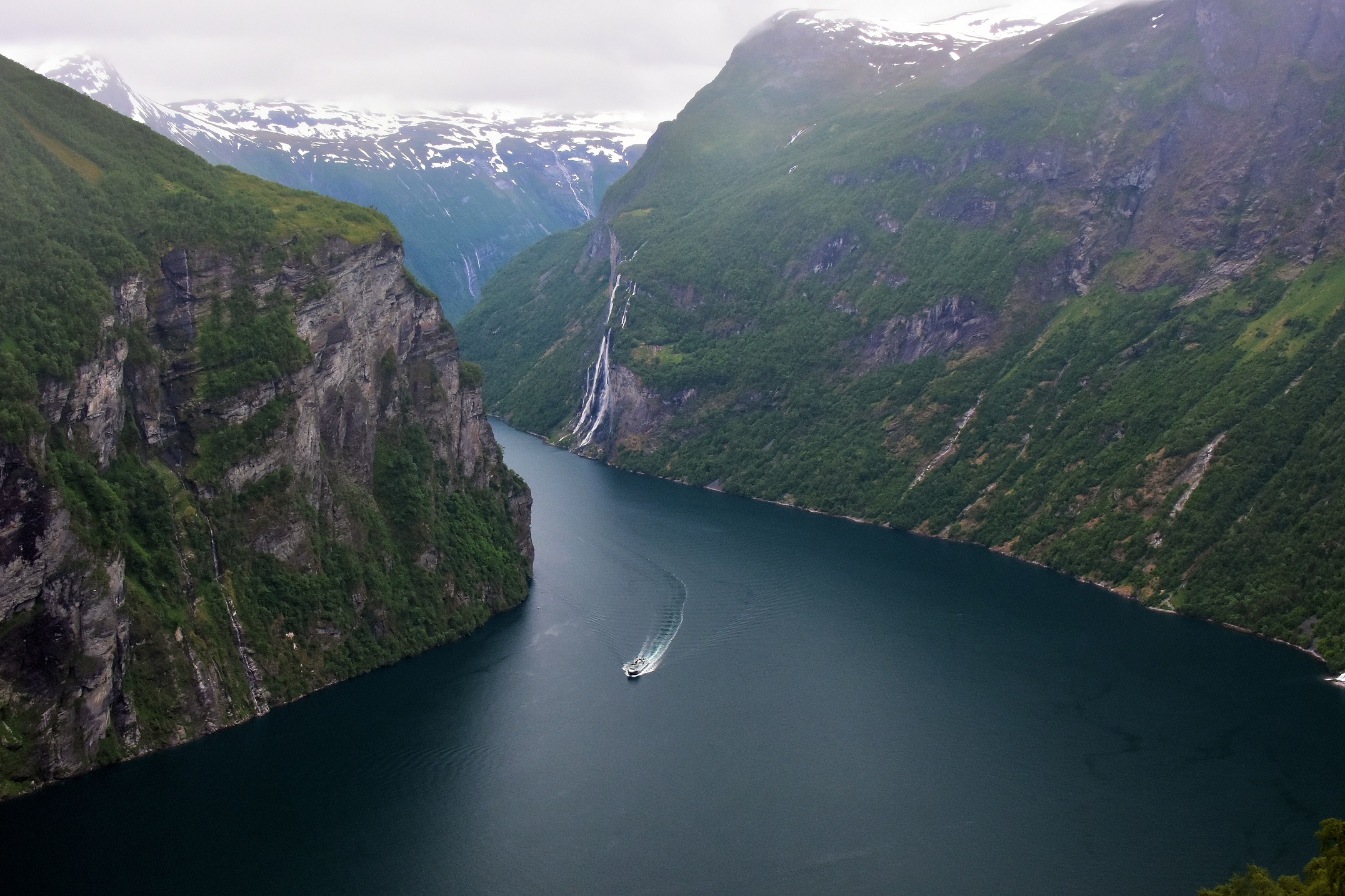
The “Seven Sisters” waterfall near Geiranger is the most impressive of all. Where no water rushes down the mountain, Norwegians have built farms. Now abandoned and deserted, they remain silent witnesses to a simple and hard life lived in the fjords. This farm was built directly beside the waterfall (top right).

Geiranger Fjord, West Norway

Geiranger, Norway
The town of Geiranger is situated at the very end of Geiranger Fjord in West Norway. Surrounded by steep mountains and rushing waterfalls, it is a popular stopover for campers, motorcyclists and other vacationers. The small town has several hotels and a vibrant tour business. During the summer, many students from all over Europe come here to work in the tourist business. In the winter, Geiranger is virtually deserted and cut off from the outside world by impassable mountain roads.
Geiranger Fjord, Norway
Geiranger Fjord and the “Seven Sisters” waterfall as seen from Eagle Point in West Norway.

Seven Sisters Waterfall, Geiranger Fjord, West Norway
Geiranger Fjord and the “Seven Sisters” waterfall as seen from Eagle Point in West Norway.

Norddalfjord in West Norway
On the left side of the picture the Norddalfjord in West Norway can be seen with the town of Valldal. Farms high up in the mountains (right) have often been in the same family for generations. Many supplement their farm income by accommodating tourists.

West Norway
Landscape near the lake Eidsvatnet in West Norway.

Herdalssetra, West Norway
The Herdalssetra Mountain Summer Farm near Norddal in West Norway is one of 1,800 summer farms left in the country. Goats, sheep, cows and horses spent the weeks here between mid-June and mid-September. Many of the cottages in the picture are over 200 years old. They are available for rent to vacationing families.

Herdalssetra, West Norway
The sheep at the Herdalssetra Mountain Summer Farm near Norddal in West Norway wear bells.

Norddalfjord, West Norway
Dramatic landscape in the West Norwegian fjord of Norddal.

Herdalssetra, West Norway
The building in the foreground is arguably the smallest cheese factory in the world. Here, at the Herdalssetra Mountain Summer Farm near Norddal in West Norway, Jostein Sande, the part owner of the farm, produces his delicious brown goat cheese.

Synnulvsfjord, West Norway
Defying gravity, this waterfall is getting carried away with the wind.

Herdalssetra, West Norway
The tiny cheese factory of the Herdalssetra Mountain Summer Farm near Norddal in West Norway with the 1,557 m (5,108 ft) high Mt. Heregga in the background.

Herdalssetra, West Norway
Jostein Sande, part owner of the Herdalssetra Mountain Summer Farm near Norddal in West Norway explains how he produces brown cheese from fresh goat milk. Behind him is a close-up view of a traditional grass roof as they were used in Norway for generations. The roof consists of three layer: wood, birch bark and grass/moss. The birch bark is clearly visible. The hut behind Jostein was constructed around the year 1800.

Herdalssetra, West Norway
The lean-to with the smoke stack in the foreground is arguably the smallest cheese factory in the world. Here, at the Herdalssetra Mountain Summer Farm near Norddal in West Norway, Jostein Sande, the part owner of the farm, produces his delicious brown goat cheese.

Geiranger, Norway
The Geiranger Fjord in West Norway is the poster child of Norwegian fjords. With water cascading down steep cliffs or into foggy crevasses, the fjords seem alive, with a personality on their own.

Herdalssetra, West Norway
Tired from playing hard at the Herdalssetra Mountain Summer Farm near Norddal in West Norway.

Herdalssetra, West Norway
Brown goat cheese made at the Herdalssetra Mountain Summer Farm near Norddal in West Norway.

Herdalssetra, West Norway
Between 300 and 400 goats roam free at the Herdalssetra Mountain Summer Farm near Norddal in West Norway. They spend the summers up here at 500 m elevation and the harsh Nordic winters at the fjord farm.

Herdalssetra, West Norway
Overnight accommodation at the Herdalssetra Mountain Summer Farm near Norddal in West Norway.

Geiranger, Norway
A sliver of sunlight lights up the steep incline along a Fjord near Stranda, Norway. The West Norwegian fjord region is protected as a UNESCO World Heritage Site, a natural treasure of exceptional beauty and fragility to be preserved for generations to come.

Herdalssetra, West Norway
The grass is always greener… at the Herdalssetra Mountain Summer Farm near Norddal in West Norway.

Orkney Islands, Scotland
Poppies flowers freely along the road and walls in the Orkney Islands.

Maeshowe Burial Mound, Orkney Islands, Scotland
Maeshowe is a 6,000 year old burial mound in the Orkney Islands. A stone-built chamber inside the mound was used for ancestor worship ceremonies and the storage of human bones. Picture taking inside the chamber was not permitted.

Barnhouse Stone, Orkney Islands, Scotland
The “Barnhouse Stone” is directly aligned with the winter sun on the shortest day of the year (December 21st) and the entrance to the 6,000 year old Maeshowe burial mound.
Maeshowe, Orkney Islands, Scotland
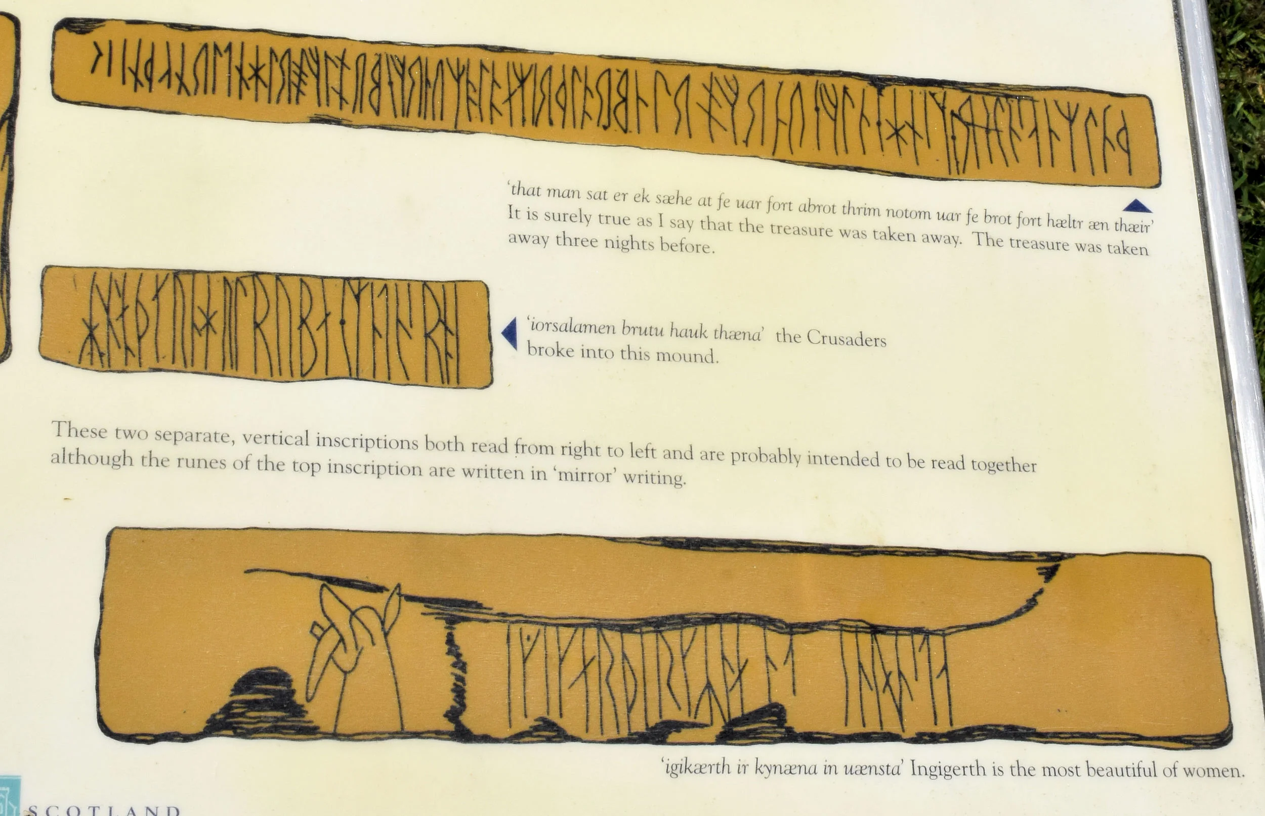
This picture of the runes carved into the walls of Maeshowe is taken from a plaque in front of the mound entrance. Unfortunately, I was not allowed to take pictures inside the burial chamber.

Orkney Islands, Scotland
Orkney Islands landscape with boats and the freshwater Loch of Harray.

Ring of Brodgar, Orkney Islands, Scotland
Henges with sandstones erected in a perfect circle can be found throughout Scotland and England. The Ring of Brodgar is 104 m (340 ft) in diameter, well preserved and only one of two in the Orkney Islands. The true purpose of the stone henges is still a subject of many debates. It is believed that the stones were erected for ceremonial use and must have been part of a larger site. Originally, all stones had an angled top which is believed to have been sited precisely to align with the horizon.
The ring represents a considerable amount of communal effort that would have lasted several generations. Stones were carved out of sandstone and transported for miles to the chosen site. Some researchers believe that the construction of the henges alone must have fulfilled a more important communal role than the actual use of the finished site. It is safe to assume that the ceremonial site was far more elaborate than the simple ring of stones we see today. During Neolithic times in the Orkneys the Ring of Brodgar must have witnessed many different communal activities not unlike our churches, theaters and community centers today.

Ring of Brodgar, Orkney Islands, Scotland
The Ring of Brodgar is one of the most remarkable ceremonial sites from the Neolithic times in the Orkneys. 27 of possibly 60 stones survived the almost 6,000 years since the establishment of the circle. Many were either vandalized or broken off by a variety of reasons.

Ring of Brodgar, Orkney Islands, Scotland
This stone in the Ring of Brodgar was struck by lightning on June 5th, 1980. It is likely that other stones in the ring succumbed to a similar fate during the past 4,500 years.

Skara Brae, Orkney Islands, Scotland
The village of Skara Brae is believed to be 5,000 to 6,000 years old. It is the best preserved Neolithic village in Northern Europe. There was no need to restore the walls of this village.
Skara Brae was home to 50 to 100 people. They were part of a group of new settlers that made the Orkney Islands there home. They replaced the hunter and gatherers who lived here prior to the settlers’ arrival. What became of the hunters and gatherers is still a mystery.

Skara Brae, Orkney Islands, Scotland
This picture clearly shows the cavities in the walls and a stone bed. The cavities were used to display pottery or other treasured personal items. Research has shown that the houses at Skara Brae were designed to be locked from the inside. This indicates that the Neolithic Settlers of Orkney had a need for personal space and privacy.

Skara Brae, Orkney Islands, Scotland
Each house at Skara Brae had a hearth in the middle and a dresser for storage along the wall.

Stones of Stenness, Orkney Islands, Scotland
The Stones of Stenness site is one of two henges (the other is the Ring of Brodgar) that were built by the Neolithic farmers on the Orkney mainland near Kirkwall. Most stones are missing but a few still stand to remind us of the enormous effort expended in chiselling, transporting and erecting these monuments for the benefit of this ancient community.

Orkney Islands
The Orkney Islands have many mansions and castles – fun to own but expensive to maintain.

Aldeyjarfoss Falls, Iceland

Iceland

Aldeyjarfoss Falls, Iceland

Iceland

Godafoss Falls, Iceland

Birch Forest, Iceland

Godafoss Falls, Iceland

Iceland

Iceland

Iceland

Iceland

Male & Female Eider Duck in Flight

Icelandic Pony


The "Horn"
Located just below the arctic circle in northern Iceland, the Horn seems like an inhospitable place. Shrouded in clouds, windswept and far from any population, this lonely peninsula is surrounded by mystery.

Travel Companion
Taking advantage of the ship's updraft, this gannet accompanies the ship far from shore.

Puffins, Vigur Island, Westfjords, Iceland

Vigur Island, Westfjords, Iceland

Isafjar Dardjup, Westfjords, Iceland

Puffin in Flight

Oyster Catcher, Vigur Island, Iceland

Arctic Tern, Westfjords, Iceland
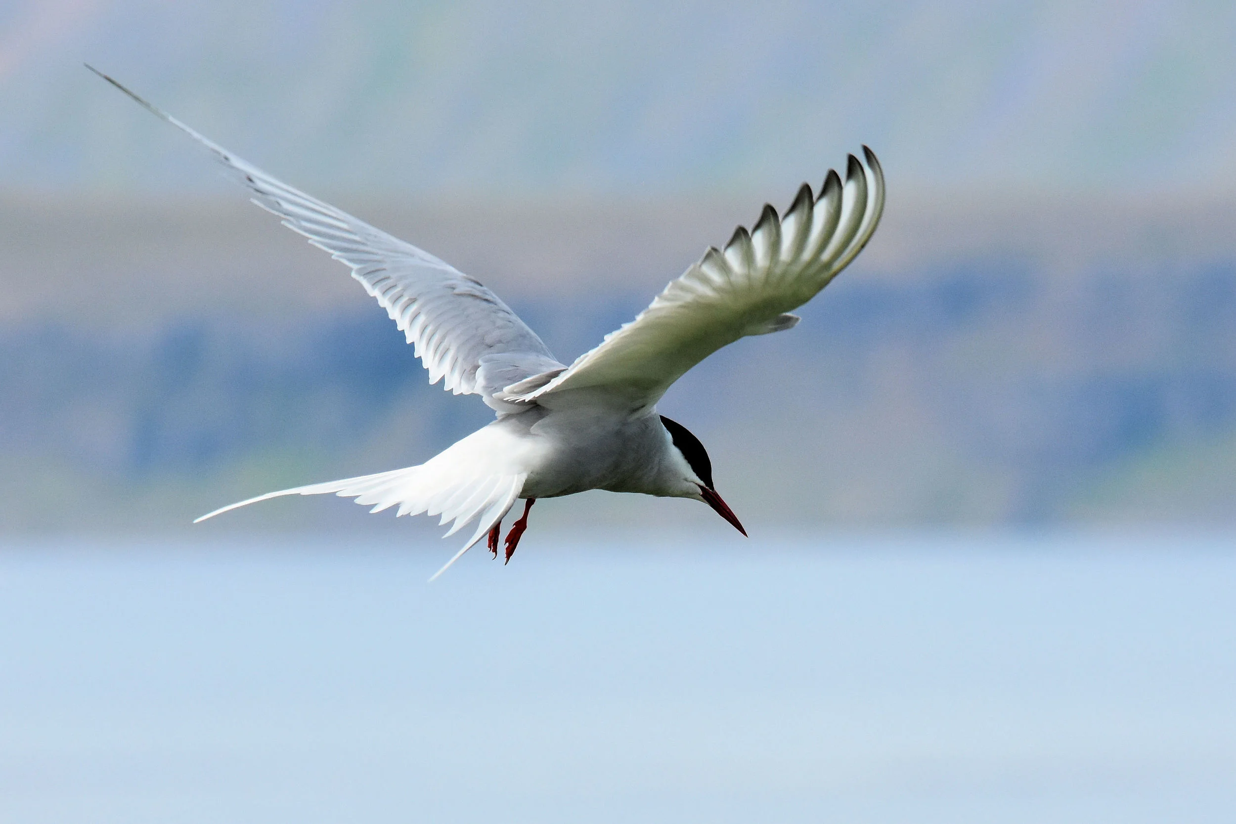
Arctic Tern, Westfjords, Iceland

Vigur Iceland, Westfjords, Iceland

Eider Duck


Eider Duck Nesting

Vigur Island, Westfjords, Iceland

Black Guillemot, Westfjords, Iceland



Patmos, Greece
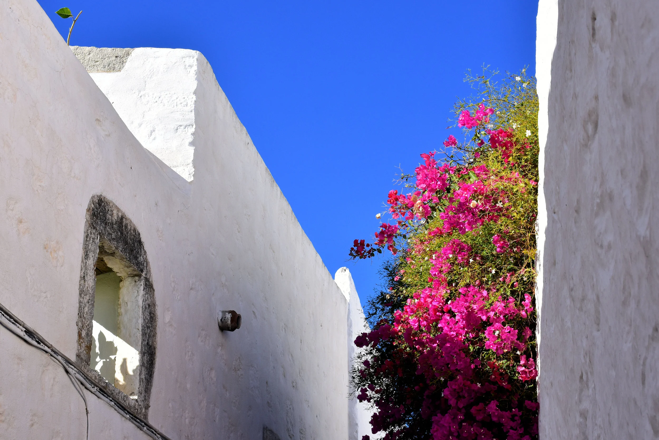
Most houses on the Aegean islands are painted white once a year. The tradition to use white limestone as paint dates back to the time when smallpox claimed the lives of many islanders. The white paint was believed to reduce the spread of the disease and keep the houses' interiors cool during the summer time.
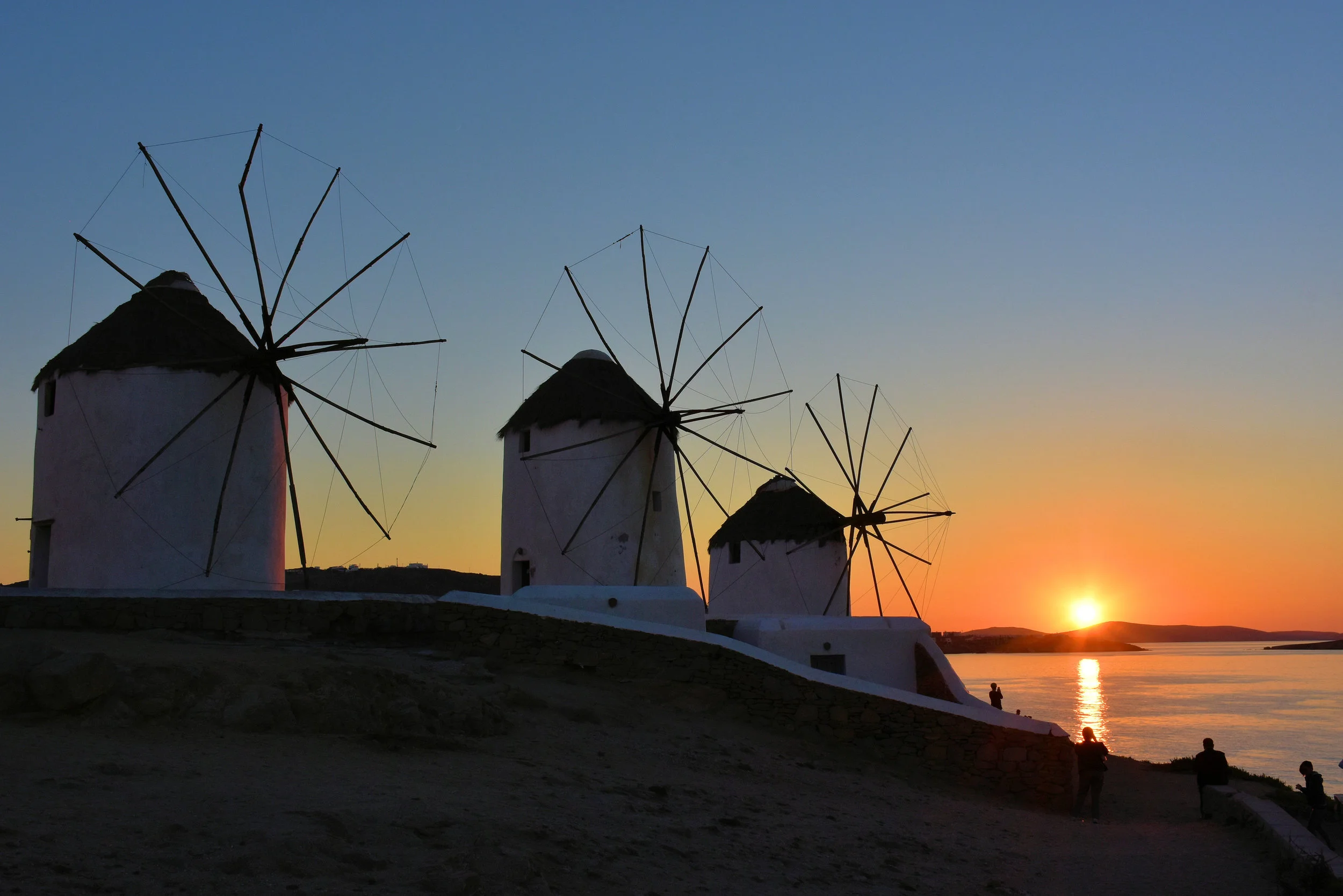
Windmills on the Island of Mykonos, Greece

Plokstine Nuclear Missile Base, Lithuania
Now void of their menacing weapons, the four silos that housed the nuclear missiles at the Soviet Nuclear Missile Base in the Plokstine Forest, Lithuania serve as witnesses of a dangerous time – the Cold War. Mistrust, perception, fear and Soviet expansionism brought the world close to nuclear conflict several times during the 1960s and 70s. From here, the rockets and nuclear warheads were removed from the silos and shipped to Cuba during the Cuban missile crisis.

Athens, Greece
The Evzones are an elite unit of ceremonial guards in front of the Greek Parliament in Athens, Greece. They stand guard at the Tomb of the Unknown Soldier. Pictured here in their winter uniforms, the guards are known for their courage and bravery. The Evzones are volunteers drawn from the Hellenic Army's Infantry Corps.
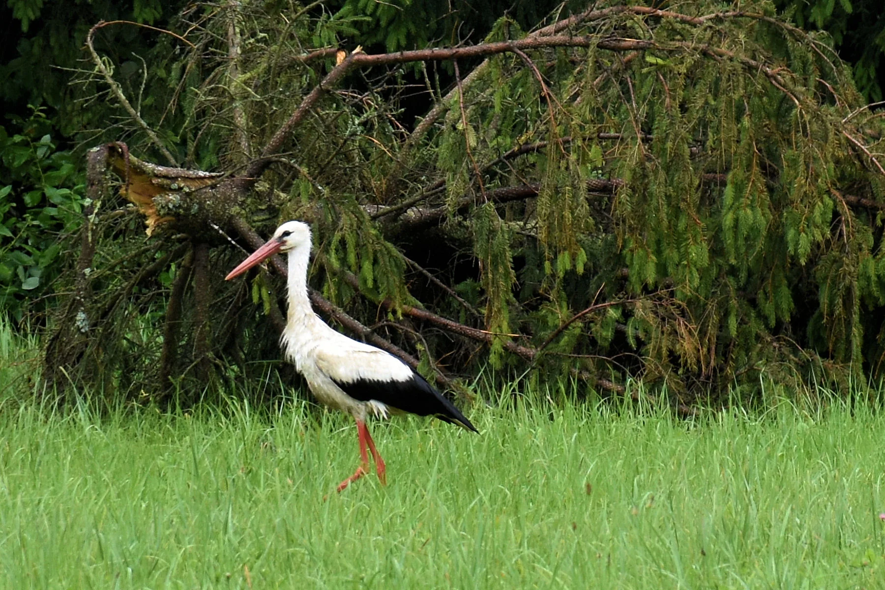
Klaipeda, Lithuania
Storks everywhere! While the countryside in Lithuania appears backwards and in places even deserted and absent of human activity, nature rejoices.

Plokstine Nuclear Missile Base, Lithuania
The now empty missile silos at the de-commissioned nuclear missile base in the Plokstine Forest in Lithuania are capped with steel and concrete. During the time when the base was operational, the cap was painted black and could be moved sideways in preparation for a missile launch.

Lithuanian Countryside
The comeback of the white storks in Lithuania could be seen as symbolic for a renewed sense of hope and stability in the Baltic States. After 50 years of Soviet rule, Lithuania regained its independence from its occupiers in 1990. The country has found its wings.

Venice, We Have A Problem


